West end of Brackens Lane, Alvaston
Introduction
The photograph on this page of West end of Brackens Lane, Alvaston by Richard Vince as part of the Geograph project.
The Geograph project started in 2005 with the aim of publishing, organising and preserving representative images for every square kilometre of Great Britain, Ireland and the Isle of Man.

There are currently over 7.5m images from over 14,400 individuals and you can help contribute to the project by visiting https://www.geograph.org.uk
West end of Brackens Lane, Alvaston
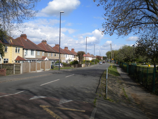
Image: © Richard Vince Taken: 4 May 2019
Seen from the point at which it once crossed the Derby Canal.
Images are licensed for reuse under creativecommons.org/licenses/by-sa/2.0
Image Location
Latitude
52.890007
Longitude
-1.445134