The village sign for Kingsdown
Introduction
The photograph on this page of The village sign for Kingsdown by Marathon as part of the Geograph project.
The Geograph project started in 2005 with the aim of publishing, organising and preserving representative images for every square kilometre of Great Britain, Ireland and the Isle of Man.

There are currently over 7.5m images from over 14,400 individuals and you can help contribute to the project by visiting https://www.geograph.org.uk
The village sign for Kingsdown
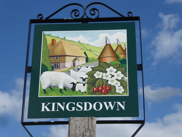
Image: © Marathon Taken: 21 Jun 2019
Kingsdown is a small hamlet and this is actually on the way out of it, at the junction of Kingsdown Road with Ludgate Road. Its setting can be seen at https://www.geograph.org.uk/photo/6191557 The sign shows a very idealised Kentish scene with sheep, cherries, oast houses, an old half-timbered house and the Downs - compare with the sign for nearby Lynsted https://www.geograph.org.uk/photo/6191511
Images are licensed for reuse under creativecommons.org/licenses/by-sa/2.0
Image Location
Latitude
51.302037
Longitude
0.772712