Housing diversity (Place Farm Estate)
Introduction
The photograph on this page of Housing diversity (Place Farm Estate) by Ian Capper as part of the Geograph project.
The Geograph project started in 2005 with the aim of publishing, organising and preserving representative images for every square kilometre of Great Britain, Ireland and the Isle of Man.

There are currently over 7.5m images from over 14,400 individuals and you can help contribute to the project by visiting https://www.geograph.org.uk
Housing diversity (Place Farm Estate)
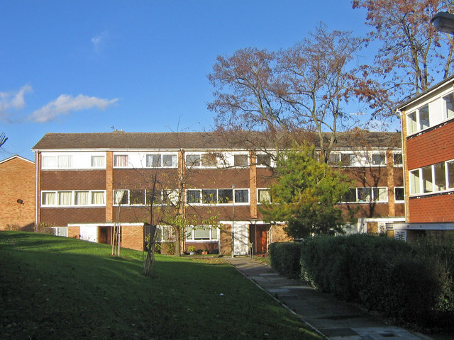
Image: © Ian Capper Taken: 21 Nov 2007
A series of photos showing the diversity of housing in one gridsquare in outer suburbia. For others in series see http://www.geograph.org.uk/search.php?i=1905481. Any further information, such as building dates and what was on the sites before building, would be appreciated. These blocks lie between Woodcote Drive and Place Farm Avenue, part of the Place Farm Estate, built in the 1970s (?). Only a small part of this high density estate is in this gridsquare, the remainder being in Image
Images are licensed for reuse under creativecommons.org/licenses/by-sa/2.0
Image Location
Latitude
51.379294
Longitude
0.082969