Oxford Canal: Site of former Swing Bridge Number 167
Introduction
The photograph on this page of Oxford Canal: Site of former Swing Bridge Number 167 by Nigel Cox as part of the Geograph project.
The Geograph project started in 2005 with the aim of publishing, organising and preserving representative images for every square kilometre of Great Britain, Ireland and the Isle of Man.

There are currently over 7.5m images from over 14,400 individuals and you can help contribute to the project by visiting https://www.geograph.org.uk
Oxford Canal: Site of former Swing Bridge Number 167
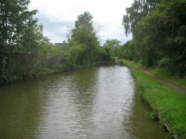
Image: © Nigel Cox Taken: 9 Jun 2019
The narrow constriction in the distance is the site of former Swing Bridge Number 167. From old large scale Ordnance Survey maps its function appeared to be to provide access from the developed part of Banbury to the canal towpath and the meadows on the west bank of the River Cherwell.
Images are licensed for reuse under creativecommons.org/licenses/by-sa/2.0
Image Location
Latitude
52.059087
Longitude
-1.330193