Victoria Road/George Street redevelopment site
Introduction
The photograph on this page of Victoria Road/George Street redevelopment site by John Baker as part of the Geograph project.
The Geograph project started in 2005 with the aim of publishing, organising and preserving representative images for every square kilometre of Great Britain, Ireland and the Isle of Man.

There are currently over 7.5m images from over 14,400 individuals and you can help contribute to the project by visiting https://www.geograph.org.uk
Victoria Road/George Street redevelopment site
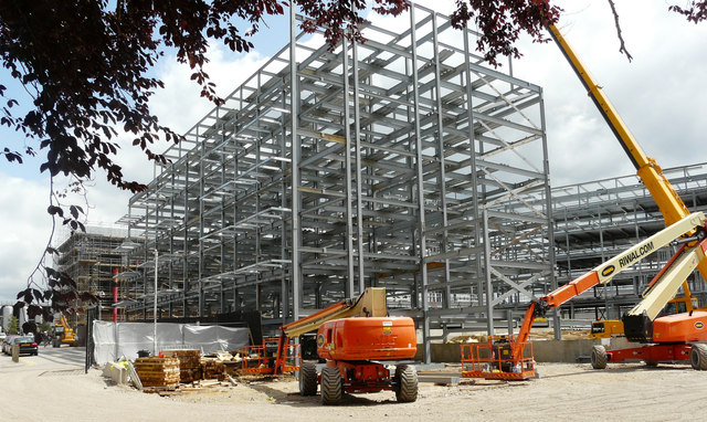
Image: © John Baker Taken: 3 Jun 2019
Planning permission has been granted by Ashford Borough Council under application number 16/00002/EIA/AS for “a food store (Use Class A1) – up to 1,750sq.m. A brewery (Use Class B2) with ancillary shop, bar and restaurant – up to 2,200sq.m. A[n] hotel (Use Class C1) - up to 120 bedrooms. Small scale commercial units (Use Classes B1a/A1/A2) – up to 350sq.m total. Up to 225 residential units comprising flats of mixed sizes (majority 1-2 beds with some 3 bed units). Dwellings to comprise a mix of Private Rented Sector (PRS), and market housing. Two electrical sub-stations. Associated parking, landscaping and access works”.
Images are licensed for reuse under creativecommons.org/licenses/by-sa/2.0
Image Location
Latitude
51.14316
Longitude
0.871273