Level crossing and the spire of Asgarby church
Introduction
The photograph on this page of Level crossing and the spire of Asgarby church by Jonathan Thacker as part of the Geograph project.
The Geograph project started in 2005 with the aim of publishing, organising and preserving representative images for every square kilometre of Great Britain, Ireland and the Isle of Man.

There are currently over 7.5m images from over 14,400 individuals and you can help contribute to the project by visiting https://www.geograph.org.uk
Level crossing and the spire of Asgarby church
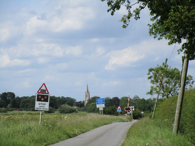
Image: © Jonathan Thacker Taken: 22 Jun 2019
The electricity poles on the right are beginning to lean at a threatening angle.
Images are licensed for reuse under creativecommons.org/licenses/by-sa/2.0
Image Location
Latitude
52.985962
Longitude
-0.339488