Ugworthy Barrow
Introduction
The photograph on this page of Ugworthy Barrow by Derek Harper as part of the Geograph project.
The Geograph project started in 2005 with the aim of publishing, organising and preserving representative images for every square kilometre of Great Britain, Ireland and the Isle of Man.

There are currently over 7.5m images from over 14,400 individuals and you can help contribute to the project by visiting https://www.geograph.org.uk
Ugworthy Barrow
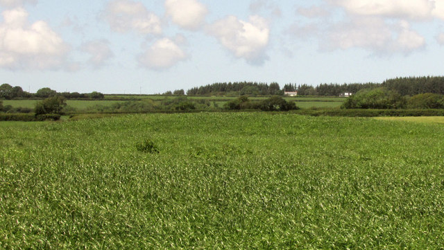
Image: © Derek Harper Taken: 21 Jun 2019
The northern of the pair of Ugworthy Barrows seen from the lane just west of Borough Cross. Early or late on this sunny summer solstice would have been a much better time to capture it; it lies just over 100 metres from the camera and can best be appreciated by looking at how the hedge behind it is obscured. The bowl barrow is described at https://historicengland.org.uk/listing/the-list/list-entry/1017977 : "as an oval mound 41m long from north to south and 38.7m wide from east to west and 1.4m high". See also Image In the background are dwellings near West Ugworthy Cross.
Images are licensed for reuse under creativecommons.org/licenses/by-sa/2.0
Image Location
Latitude
50.842618
Longitude
-4.385301