MOAT street name sign, Castle Donington
Introduction
The photograph on this page of MOAT street name sign, Castle Donington by Alan Murray-Rust as part of the Geograph project.
The Geograph project started in 2005 with the aim of publishing, organising and preserving representative images for every square kilometre of Great Britain, Ireland and the Isle of Man.

There are currently over 7.5m images from over 14,400 individuals and you can help contribute to the project by visiting https://www.geograph.org.uk
MOAT street name sign, Castle Donington
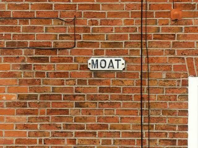
Image: © Alan Murray-Rust Taken: 18 Jun 2019
This must be one of the shortest street names in the country. OS large scale maps show it incorrectly as 'The Moat'.
Images are licensed for reuse under creativecommons.org/licenses/by-sa/2.0
Image Location
Latitude
52.842876
Longitude
-1.335126