New Kew Junction to Kew East Junction Curve
Introduction
The photograph on this page of New Kew Junction to Kew East Junction Curve by Robin Webster as part of the Geograph project.
The Geograph project started in 2005 with the aim of publishing, organising and preserving representative images for every square kilometre of Great Britain, Ireland and the Isle of Man.

There are currently over 7.5m images from over 14,400 individuals and you can help contribute to the project by visiting https://www.geograph.org.uk
New Kew Junction to Kew East Junction Curve
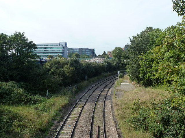
Image: © Robin Webster Taken: 9 Sep 2012
Below is the site of the further platforms 3 and 4 of Kew bridge station, these were closed in 1940. That on the right (4) is more or less intact, that on the left appears to have been removed. The curve has no scheduled passenger services now.
Images are licensed for reuse under creativecommons.org/licenses/by-sa/2.0
Image Location
Latitude
51.490234
Longitude
-0.287369