Raised pavement on the road to Lower Under Hill
Introduction
The photograph on this page of Raised pavement on the road to Lower Under Hill by Christine Johnstone as part of the Geograph project.
The Geograph project started in 2005 with the aim of publishing, organising and preserving representative images for every square kilometre of Great Britain, Ireland and the Isle of Man.

There are currently over 7.5m images from over 14,400 individuals and you can help contribute to the project by visiting https://www.geograph.org.uk
Raised pavement on the road to Lower Under Hill
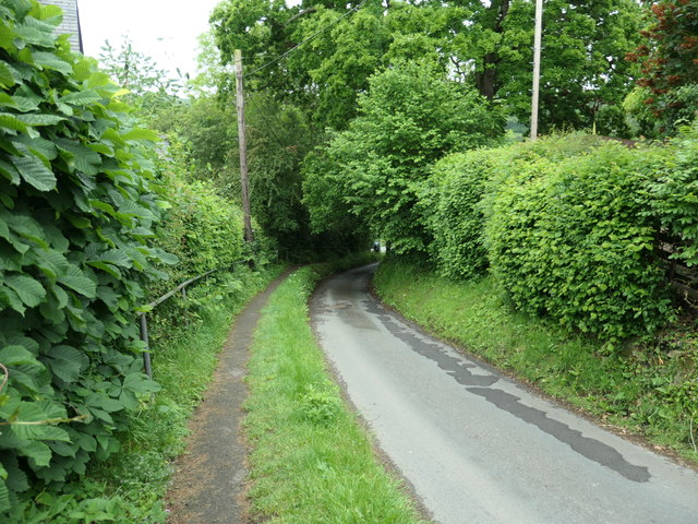
Image: © Christine Johnstone Taken: 8 Jun 2019
The gradient is mapped at 14 - 20%, so the handrail could be useful.
Images are licensed for reuse under creativecommons.org/licenses/by-sa/2.0
Image Location
Latitude
54.439073
Longitude
-0.803665