The steep road down to Lower Under Hill, Glaisdale
Introduction
The photograph on this page of The steep road down to Lower Under Hill, Glaisdale by Christine Johnstone as part of the Geograph project.
The Geograph project started in 2005 with the aim of publishing, organising and preserving representative images for every square kilometre of Great Britain, Ireland and the Isle of Man.

There are currently over 7.5m images from over 14,400 individuals and you can help contribute to the project by visiting https://www.geograph.org.uk
The steep road down to Lower Under Hill, Glaisdale
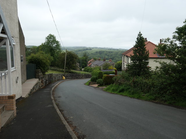
Image: © Christine Johnstone Taken: 8 Jun 2019
Dropping 60 metres in about 250 metres. Signed for 'Local traffic only'.
Images are licensed for reuse under creativecommons.org/licenses/by-sa/2.0
Image Location
Latitude
54.438914
Longitude
-0.805674