River Nene Navigation: Upper Wellingborough Lock (1)
Introduction
The photograph on this page of River Nene Navigation: Upper Wellingborough Lock (1) by Nigel Cox as part of the Geograph project.
The Geograph project started in 2005 with the aim of publishing, organising and preserving representative images for every square kilometre of Great Britain, Ireland and the Isle of Man.

There are currently over 7.5m images from over 14,400 individuals and you can help contribute to the project by visiting https://www.geograph.org.uk
River Nene Navigation: Upper Wellingborough Lock (1)
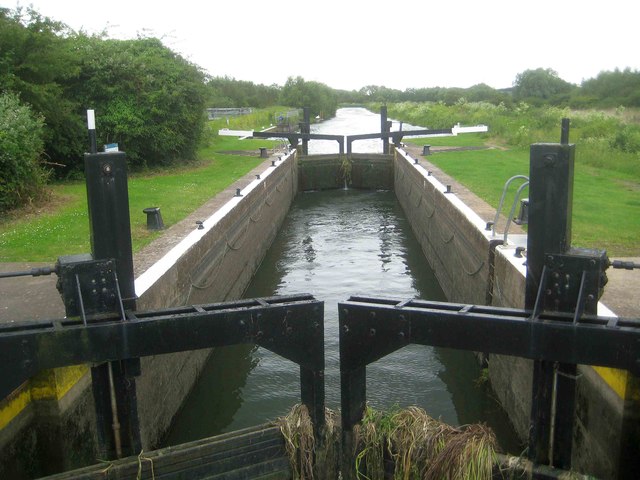
Image: © Nigel Cox Taken: 16 Jun 2019
This is the view from the footbridge just downstream of the lock. On the Environment Agency lock sign there is a notice stating that there is no life saving equipment at the site due to persistent vandalism.
Images are licensed for reuse under creativecommons.org/licenses/by-sa/2.0
Image Location


Leaflet Map data © OpenStreetMap
Latitude
52.28668
Longitude
-0.683025