OS Flush Bracket S0826, Llanrhaeadr-ym-Mochnant
Introduction
The photograph on this page of OS Flush Bracket S0826, Llanrhaeadr-ym-Mochnant by Richard Law as part of the Geograph project.
The Geograph project started in 2005 with the aim of publishing, organising and preserving representative images for every square kilometre of Great Britain, Ireland and the Isle of Man.

There are currently over 7.5m images from over 14,400 individuals and you can help contribute to the project by visiting https://www.geograph.org.uk
OS Flush Bracket S0826, Llanrhaeadr-ym-Mochnant
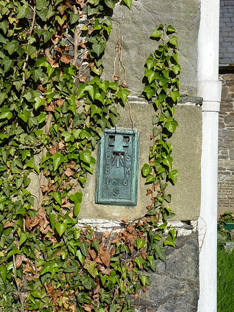
Image: © Richard Law Taken: 15 May 2019
OS flush bracket affixed to the east wall of Image, which was placed as part of the Llandderfel to Oswestry levelling line at 498.309 feet above Ordnance Datum Newlyn.
Images are licensed for reuse under creativecommons.org/licenses/by-sa/2.0
Image Location
Latitude
52.824691
Longitude
-3.301368