Wellingborough: Thomas Street
Introduction
The photograph on this page of Wellingborough: Thomas Street by Nigel Cox as part of the Geograph project.
The Geograph project started in 2005 with the aim of publishing, organising and preserving representative images for every square kilometre of Great Britain, Ireland and the Isle of Man.

There are currently over 7.5m images from over 14,400 individuals and you can help contribute to the project by visiting https://www.geograph.org.uk
Wellingborough: Thomas Street
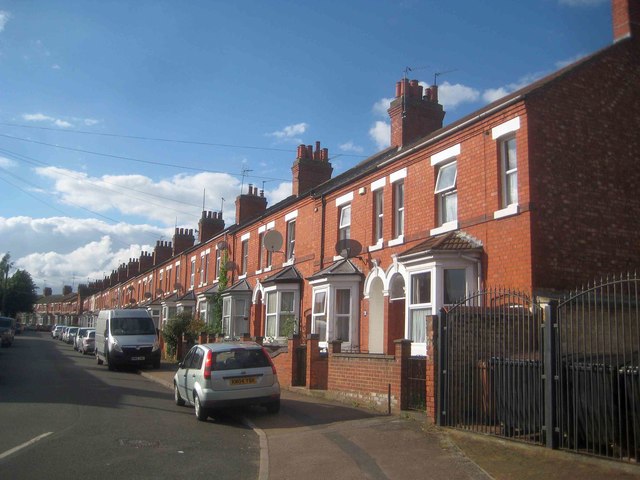
Image: © Nigel Cox Taken: 14 Jun 2019
This neat row of terraced houses probably dates from the 1890s. It is not present on the large scale Ordnance Survey map of 1888, but is present (the houses on this side of the street, not those on the other) on that of 1900.
Images are licensed for reuse under creativecommons.org/licenses/by-sa/2.0
Image Location
Latitude
52.304436
Longitude
-0.687045