Irchester: Former Red Lion Inn and former 19th
Introduction
The photograph on this page of Irchester: Former Red Lion Inn and former 19th by Nigel Cox as part of the Geograph project.
The Geograph project started in 2005 with the aim of publishing, organising and preserving representative images for every square kilometre of Great Britain, Ireland and the Isle of Man.

There are currently over 7.5m images from over 14,400 individuals and you can help contribute to the project by visiting https://www.geograph.org.uk
Irchester: Former Red Lion Inn and former 19th
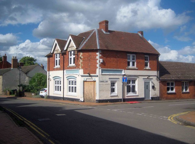
Image: © Nigel Cox Taken: 14 Jun 2019
This public house, on the corner of the High Street and Townwell Lane, was originally the Red Lion Inn, and latterly the 19th, as photographed by David Dixon in September 2016 Image It has since been closed and is boarded up.
Images are licensed for reuse under creativecommons.org/licenses/by-sa/2.0
Image Location
Latitude
52.283
Longitude
-0.643846