Riddlesdown Common
Introduction
The photograph on this page of Riddlesdown Common by Stephen McKay as part of the Geograph project.
The Geograph project started in 2005 with the aim of publishing, organising and preserving representative images for every square kilometre of Great Britain, Ireland and the Isle of Man.

There are currently over 7.5m images from over 14,400 individuals and you can help contribute to the project by visiting https://www.geograph.org.uk
Riddlesdown Common
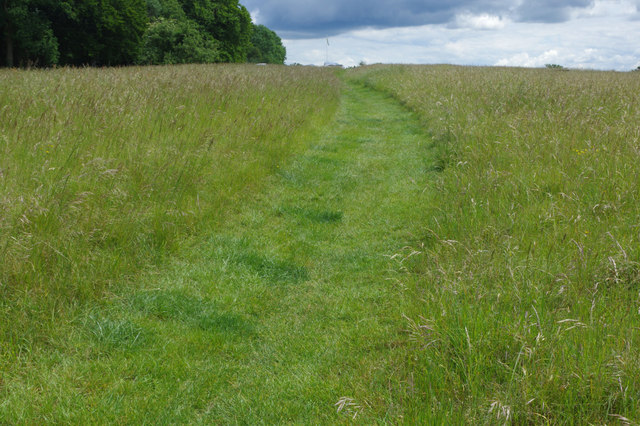
Image: © Stephen McKay Taken: 11 Jun 2019
This footpath, here a mown strip, runs from Downs Court Road up to Riddlesdown Road. The edge of Coombes Wood can be seen.
Images are licensed for reuse under creativecommons.org/licenses/by-sa/2.0
Image Location
Latitude
51.328916
Longitude
-0.101185