Power Lines over Langage footpath
Introduction
The photograph on this page of Power Lines over Langage footpath by Nigel Mole as part of the Geograph project.
The Geograph project started in 2005 with the aim of publishing, organising and preserving representative images for every square kilometre of Great Britain, Ireland and the Isle of Man.

There are currently over 7.5m images from over 14,400 individuals and you can help contribute to the project by visiting https://www.geograph.org.uk
Power Lines over Langage footpath
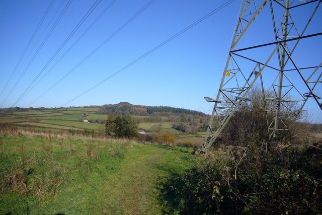
Image: © Nigel Mole Taken: 23 Nov 2007
The footpath bends to North Easterly and passes below powerlines. The House in the centre of the picture is Sherwell and the hill on the horizon is Henerdon Ball.
Images are licensed for reuse under creativecommons.org/licenses/by-sa/2.0
Image Location


Leaflet Map data © OpenStreetMap
Latitude
50.390923
Longitude
-4.014475