Calanais/Callanish XVI, Calanais, Isle of Lewis
Introduction
The photograph on this page of Calanais/Callanish XVI, Calanais, Isle of Lewis by Claire Pegrum as part of the Geograph project.
The Geograph project started in 2005 with the aim of publishing, organising and preserving representative images for every square kilometre of Great Britain, Ireland and the Isle of Man.

There are currently over 7.5m images from over 14,400 individuals and you can help contribute to the project by visiting https://www.geograph.org.uk
Calanais/Callanish XVI, Calanais, Isle of Lewis
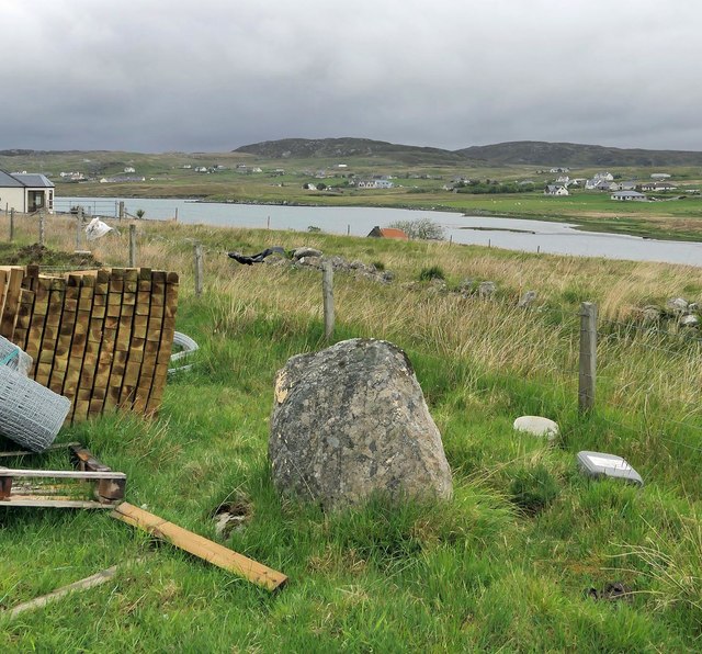
Image: © Claire Pegrum Taken: 22 May 2019
From Discovery and Excavation in Scotland, 1976: "A standing stone approx. 0.95m high x 0.30m x 0.98m surrounded by packing stones. It stands approx. 800m due N of the centre of Callanish I."
Images are licensed for reuse under creativecommons.org/licenses/by-sa/2.0
Image Location
Latitude
58.204702
Longitude
-6.744971