Farm house and outbuildings east of the Tullyvallen Free Presbyterian Church
Introduction
The photograph on this page of Farm house and outbuildings east of the Tullyvallen Free Presbyterian Church by Eric Jones as part of the Geograph project.
The Geograph project started in 2005 with the aim of publishing, organising and preserving representative images for every square kilometre of Great Britain, Ireland and the Isle of Man.

There are currently over 7.5m images from over 14,400 individuals and you can help contribute to the project by visiting https://www.geograph.org.uk
Farm house and outbuildings east of the Tullyvallen Free Presbyterian Church
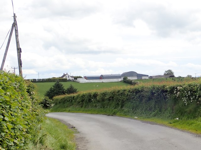
Image: © Eric Jones Taken: 7 Jun 2019
The farm, photographed here from the Tulyneill Road, is located near the crossroads with Tullygeasy Road.
Images are licensed for reuse under creativecommons.org/licenses/by-sa/2.0
Image Location
Latitude
54.190004
Longitude
-6.603163