Honister Heights, Purley
Introduction
The photograph on this page of Honister Heights, Purley by Stephen McKay as part of the Geograph project.
The Geograph project started in 2005 with the aim of publishing, organising and preserving representative images for every square kilometre of Great Britain, Ireland and the Isle of Man.

There are currently over 7.5m images from over 14,400 individuals and you can help contribute to the project by visiting https://www.geograph.org.uk
Honister Heights, Purley
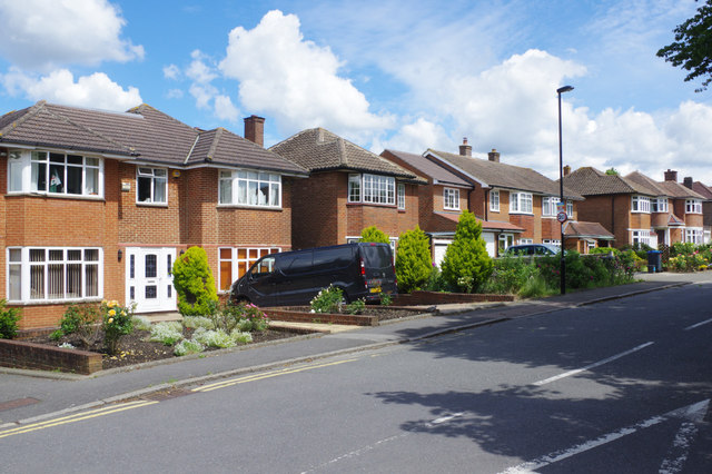
Image: © Stephen McKay Taken: 11 Jun 2019
The substantial houses here were built in the mid-1950s. This is the view from the junction with Eskdale Gardens.
Images are licensed for reuse under creativecommons.org/licenses/by-sa/2.0
Image Location
Latitude
51.326647
Longitude
-0.094389