Gregory Street
Introduction
The photograph on this page of Gregory Street by David Lally as part of the Geograph project.
The Geograph project started in 2005 with the aim of publishing, organising and preserving representative images for every square kilometre of Great Britain, Ireland and the Isle of Man.

There are currently over 7.5m images from over 14,400 individuals and you can help contribute to the project by visiting https://www.geograph.org.uk
Gregory Street
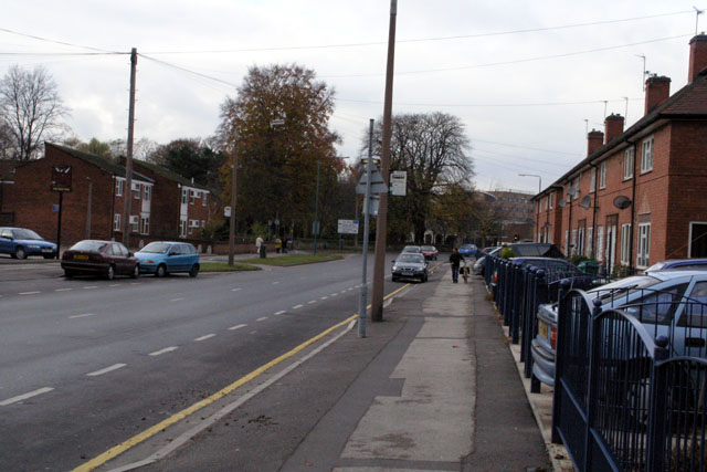
Image: © David Lally Taken: 22 Nov 2007
Municipal housing of various ages line this part of Gregory Street. The QMC hospital can be seen in the distance.
Images are licensed for reuse under creativecommons.org/licenses/by-sa/2.0
Image Location
Latitude
52.944011
Longitude
-1.17747