Houses near the Reservoir
Introduction
The photograph on this page of Houses near the Reservoir by Des Blenkinsopp as part of the Geograph project.
The Geograph project started in 2005 with the aim of publishing, organising and preserving representative images for every square kilometre of Great Britain, Ireland and the Isle of Man.

There are currently over 7.5m images from over 14,400 individuals and you can help contribute to the project by visiting https://www.geograph.org.uk
Houses near the Reservoir
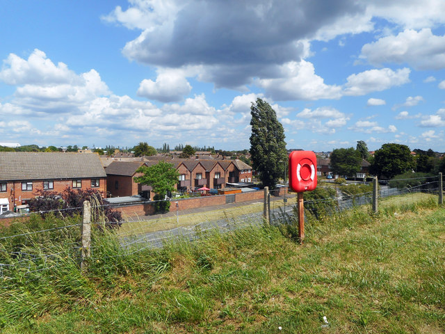
Image: © Des Blenkinsopp Taken: 6 Jun 2019
Not a spectacular view, but one that shows how high the reservoir banks are compared to their surroundings. This is at the eastern end of the 1+ km pathway across Staines Reservoir.
Images are licensed for reuse under creativecommons.org/licenses/by-sa/2.0
Image Location
Latitude
51.448549
Longitude
-0.479325