Barley field, Viol Moor
Introduction
The photograph on this page of Barley field, Viol Moor by Gordon Hatton as part of the Geograph project.
The Geograph project started in 2005 with the aim of publishing, organising and preserving representative images for every square kilometre of Great Britain, Ireland and the Isle of Man.

There are currently over 7.5m images from over 14,400 individuals and you can help contribute to the project by visiting https://www.geograph.org.uk
Barley field, Viol Moor
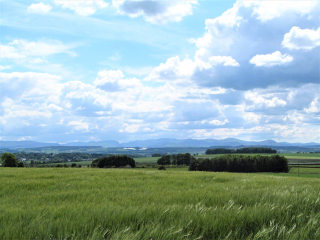
Image: © Gordon Hatton Taken: 10 Jun 2019
There's a gradual rise from the Vale of Eden eastwards towards the North Pennine scarp, so at this point one is already at the 220m contour. From this crop field one looks over the vale towards the distant Lake District mountains with Blencathra in the centre of the frame.
Images are licensed for reuse under creativecommons.org/licenses/by-sa/2.0
Image Location
Latitude
54.769407
Longitude
-2.627763