Bournemouth: Coroner?s and Law Courts
Introduction
The photograph on this page of Bournemouth: Coroner?s and Law Courts by Chris Downer as part of the Geograph project.
The Geograph project started in 2005 with the aim of publishing, organising and preserving representative images for every square kilometre of Great Britain, Ireland and the Isle of Man.

There are currently over 7.5m images from over 14,400 individuals and you can help contribute to the project by visiting https://www.geograph.org.uk
Bournemouth: Coroner?s and Law Courts
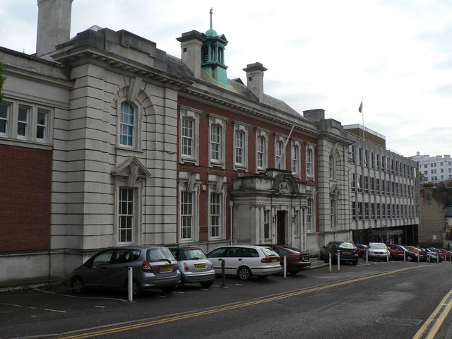
Image: © Chris Downer Taken: 22 Nov 2007
Looking down Trinity Road, the Coroner’s Court is the older, red and white building, with the more modern Law Courts building next door. (They are linked by a first-floor walkway.)
Images are licensed for reuse under creativecommons.org/licenses/by-sa/2.0
Image Location
Latitude
50.723499
Longitude
-1.868481