Timberdine Avenue
Introduction
The photograph on this page of Timberdine Avenue by Philip Halling as part of the Geograph project.
The Geograph project started in 2005 with the aim of publishing, organising and preserving representative images for every square kilometre of Great Britain, Ireland and the Isle of Man.

There are currently over 7.5m images from over 14,400 individuals and you can help contribute to the project by visiting https://www.geograph.org.uk
Timberdine Avenue
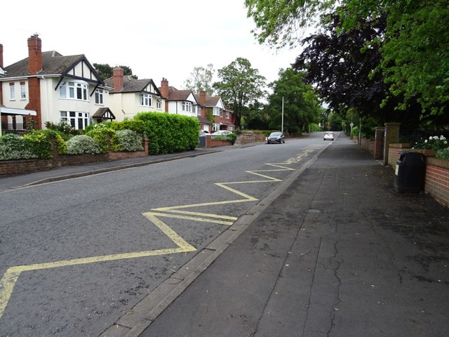
Image: © Philip Halling Taken: 8 Jun 2019
Inter-war houses on Timberdine Avenue near the Blessed Edward Oldcorne Roman Catholic College.
Images are licensed for reuse under creativecommons.org/licenses/by-sa/2.0
Image Location
Latitude
52.18181
Longitude
-2.211585