Beckington Recreation Field
Introduction
The photograph on this page of Beckington Recreation Field by HelenK as part of the Geograph project.
The Geograph project started in 2005 with the aim of publishing, organising and preserving representative images for every square kilometre of Great Britain, Ireland and the Isle of Man.

There are currently over 7.5m images from over 14,400 individuals and you can help contribute to the project by visiting https://www.geograph.org.uk
Beckington Recreation Field
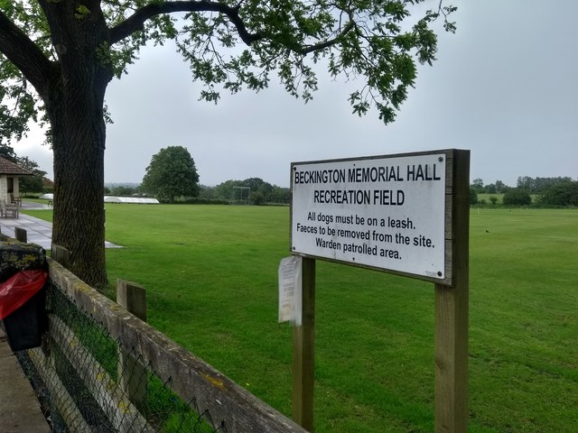
Image: © HelenK Taken: 10 Jun 2019
A corner of the Memorial Hall is just visible on the left. "The Village Hall was created out of money raised by the people of Beckington, following the world wars, as a Memorial to those local people who lost their lives for the country." http://www.beckington.org.uk/amenities/memorialhall.htm#history The ground is used by Beckington Cricket Club http://www.beckingtoncricketclub.co.uk/history.php . But keep your dog on its leash, and do remember to take faeces away with you.
Images are licensed for reuse under creativecommons.org/licenses/by-sa/2.0
Image Location
Latitude
51.269318
Longitude
-2.287632