Broadgate to Hertford Street
Introduction
The photograph on this page of Broadgate to Hertford Street by E Gammie as part of the Geograph project.
The Geograph project started in 2005 with the aim of publishing, organising and preserving representative images for every square kilometre of Great Britain, Ireland and the Isle of Man.

There are currently over 7.5m images from over 14,400 individuals and you can help contribute to the project by visiting https://www.geograph.org.uk
Broadgate to Hertford Street
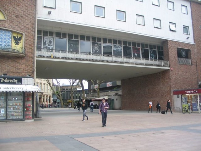
Image: © E Gammie Taken: 5 Jun 2019
The work to remove a 1970s infill from under the bridge has been completed and there is once again an open route to Hertford Street from Broadgate, albeit pedestrian rather than the former roadway. The council's Bridge Restaurant once occupied the space behind the windows. The former infill building can be seen to the right in Image] (2012). Artist's impression of the changes on the hoardings whilst work was under way: Image] (2018)
Images are licensed for reuse under creativecommons.org/licenses/by-sa/2.0
Image Location
Latitude
52.407274
Longitude
-1.51089