Friars Road, Winchelsea
Introduction
The photograph on this page of Friars Road, Winchelsea by Simon Carey as part of the Geograph project.
The Geograph project started in 2005 with the aim of publishing, organising and preserving representative images for every square kilometre of Great Britain, Ireland and the Isle of Man.

There are currently over 7.5m images from over 14,400 individuals and you can help contribute to the project by visiting https://www.geograph.org.uk
Friars Road, Winchelsea
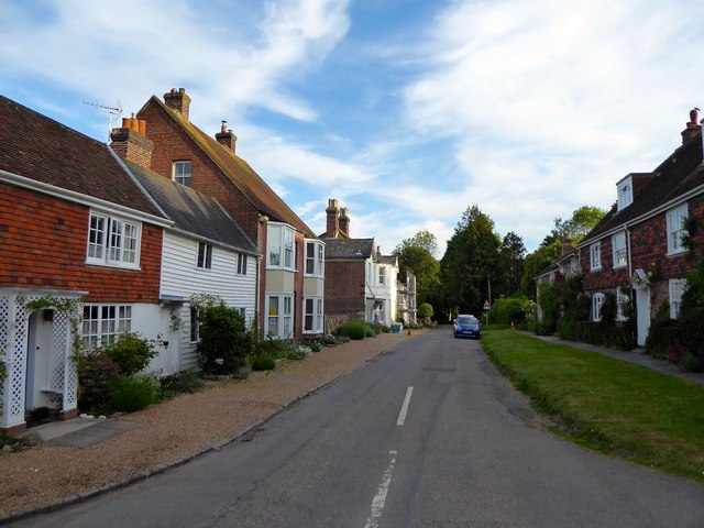
Image: © Simon Carey Taken: 1 Jun 2019
Now a cul de sac that heads south from Back Lane to provide access to Greyfriars. Originally known as Butchery Street that accessed both the Monday Market, see Image, and the former Greyfriars Friary. On the right are Cleveland Cottages whilst to the left are White Cottage and Cleveland House.
Images are licensed for reuse under creativecommons.org/licenses/by-sa/2.0
Image Location
Latitude
50.922893
Longitude
0.709117