Salterns Quay
Introduction
The photograph on this page of Salterns Quay by Robin Webster as part of the Geograph project.
The Geograph project started in 2005 with the aim of publishing, organising and preserving representative images for every square kilometre of Great Britain, Ireland and the Isle of Man.

There are currently over 7.5m images from over 14,400 individuals and you can help contribute to the project by visiting https://www.geograph.org.uk
Salterns Quay
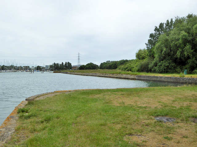
Image: © Robin Webster Taken: 5 Jun 2019
This inlet is Salterns Lake. It served a brick works for a period. Later, the area was bounded by War Department boundary stones and what went on inside, if anything, was omitted from maps. It is now public open space.
Images are licensed for reuse under creativecommons.org/licenses/by-sa/2.0
Image Location
Latitude
50.843327
Longitude
-1.176311