Approaching Upper Newbold
Introduction
The photograph on this page of Approaching Upper Newbold by Malcolm Neal as part of the Geograph project.
The Geograph project started in 2005 with the aim of publishing, organising and preserving representative images for every square kilometre of Great Britain, Ireland and the Isle of Man.

There are currently over 7.5m images from over 14,400 individuals and you can help contribute to the project by visiting https://www.geograph.org.uk
Approaching Upper Newbold
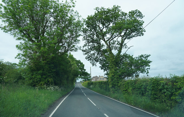
Image: © Malcolm Neal Taken: 5 Jun 2019
Still on the Dunstan Road the B6050 as we drive towards Chatsworth.
Images are licensed for reuse under creativecommons.org/licenses/by-sa/2.0
Image Location
Latitude
53.260213
Longitude
-1.472137