St David's Park, New Tredegar
Introduction
The photograph on this page of St David's Park, New Tredegar by Jaggery as part of the Geograph project.
The Geograph project started in 2005 with the aim of publishing, organising and preserving representative images for every square kilometre of Great Britain, Ireland and the Isle of Man.

There are currently over 7.5m images from over 14,400 individuals and you can help contribute to the project by visiting https://www.geograph.org.uk
St David's Park, New Tredegar
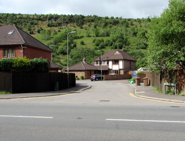
Image: © Jaggery Taken: 5 Jun 2019
Cul-de-sac viewed across the A4049 White Rose Way.
Images are licensed for reuse under creativecommons.org/licenses/by-sa/2.0
Image Location
Latitude
51.7181
Longitude
-3.239499