Sweetbrier Lane, Exeter
Introduction
The photograph on this page of Sweetbrier Lane, Exeter by David Smith as part of the Geograph project.
The Geograph project started in 2005 with the aim of publishing, organising and preserving representative images for every square kilometre of Great Britain, Ireland and the Isle of Man.

There are currently over 7.5m images from over 14,400 individuals and you can help contribute to the project by visiting https://www.geograph.org.uk
Sweetbrier Lane, Exeter
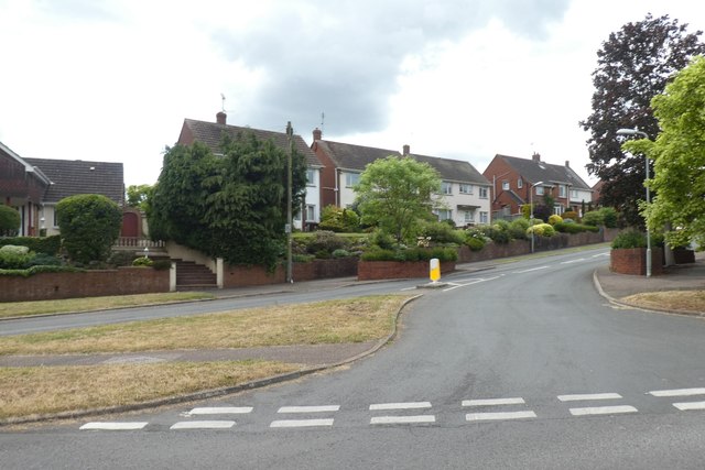
Image: © David Smith Taken: 3 Jun 2019
This road is no longer a lane, but its route follows an old lane through the edge of Heavitree, Exeter. The housing dates from the 1930s
Images are licensed for reuse under creativecommons.org/licenses/by-sa/2.0
Image Location
Latitude
50.722831
Longitude
-3.492426