Bugs' Bottom, Caversham
Introduction
The photograph on this page of Bugs' Bottom, Caversham by Andrew Smith as part of the Geograph project.
The Geograph project started in 2005 with the aim of publishing, organising and preserving representative images for every square kilometre of Great Britain, Ireland and the Isle of Man.

There are currently over 7.5m images from over 14,400 individuals and you can help contribute to the project by visiting https://www.geograph.org.uk
Bugs' Bottom, Caversham
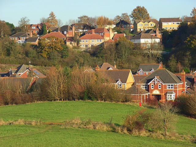
Image: © Andrew Smith Taken: 16 Nov 2007
A small development of houses in the foot of the valley beside green space that was saved from developers. The more distant houses are out of the grid-square and on the fringe of Emmer Green.
Images are licensed for reuse under creativecommons.org/licenses/by-sa/2.0
Image Location
Latitude
51.48302
Longitude
-0.980362