Footpath waymark, on the west bank of the Soar
Introduction
The photograph on this page of Footpath waymark, on the west bank of the Soar by Christine Johnstone as part of the Geograph project.
The Geograph project started in 2005 with the aim of publishing, organising and preserving representative images for every square kilometre of Great Britain, Ireland and the Isle of Man.

There are currently over 7.5m images from over 14,400 individuals and you can help contribute to the project by visiting https://www.geograph.org.uk
Footpath waymark, on the west bank of the Soar
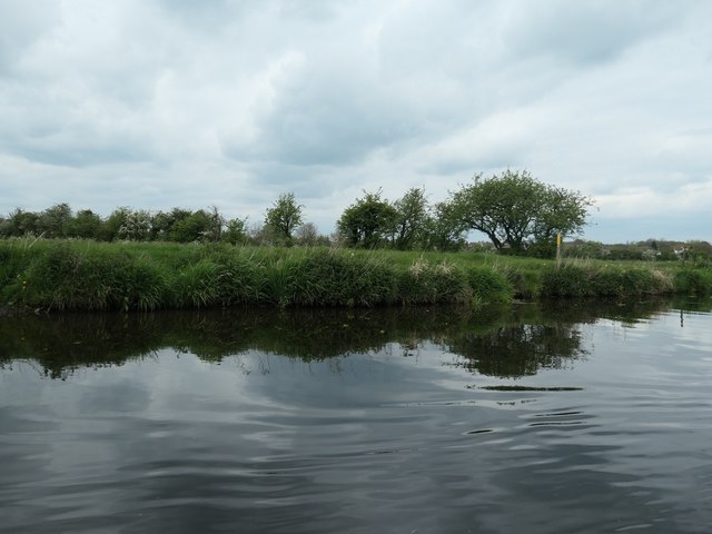
Image: © Christine Johnstone Taken: 5 May 2019
The towpath here is also a public footpath, which are all marked with yellow posts in this area.
Images are licensed for reuse under creativecommons.org/licenses/by-sa/2.0
Image Location


Leaflet Map data © OpenStreetMap
Latitude
52.745416
Longitude
-1.137661