Paisley Road
Introduction
The photograph on this page of Paisley Road by Lairich Rig as part of the Geograph project.
The Geograph project started in 2005 with the aim of publishing, organising and preserving representative images for every square kilometre of Great Britain, Ireland and the Isle of Man.

There are currently over 7.5m images from over 14,400 individuals and you can help contribute to the project by visiting https://www.geograph.org.uk
Paisley Road
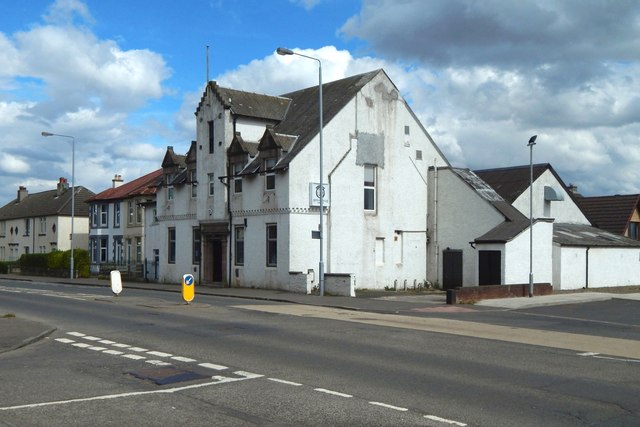
Image: © Lairich Rig Taken: 25 Apr 2019
It is seen here from the junction with Quarry Road; the building directly ahead is shown and described in other contributors' earlier pictures: Image / Image
Images are licensed for reuse under creativecommons.org/licenses/by-sa/2.0
Image Location
Latitude
55.80651
Longitude
-4.398729