Babbington Village
Introduction
The photograph on this page of Babbington Village by Alan Murray-Rust as part of the Geograph project.
The Geograph project started in 2005 with the aim of publishing, organising and preserving representative images for every square kilometre of Great Britain, Ireland and the Isle of Man.

There are currently over 7.5m images from over 14,400 individuals and you can help contribute to the project by visiting https://www.geograph.org.uk
Babbington Village
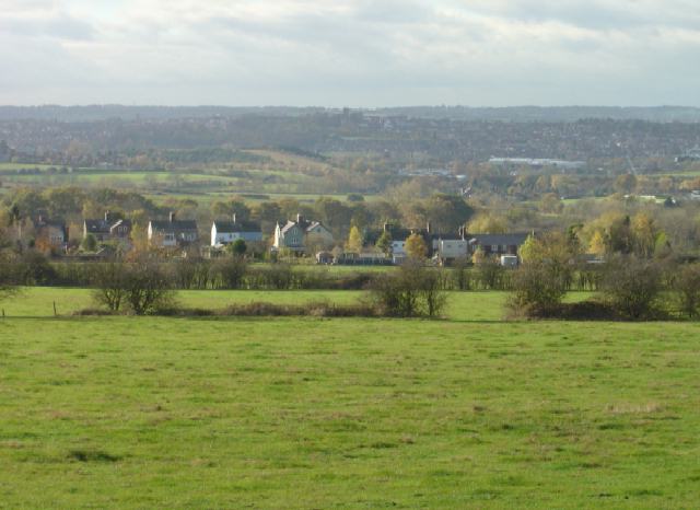
Image: © Alan Murray-Rust Taken: 11 Nov 2007
This is the view from the bridleway from Swingate. Although now agricultural this area was developed early with coal mines as the coal was close to the surface. Traces of the industry are now hard to find.
Images are licensed for reuse under creativecommons.org/licenses/by-sa/2.0
Image Location
Latitude
52.986942
Longitude
-1.26782