Flint Dock tidal creek
Introduction
The photograph on this page of Flint Dock tidal creek by Mat Fascione as part of the Geograph project.
The Geograph project started in 2005 with the aim of publishing, organising and preserving representative images for every square kilometre of Great Britain, Ireland and the Isle of Man.

There are currently over 7.5m images from over 14,400 individuals and you can help contribute to the project by visiting https://www.geograph.org.uk
Flint Dock tidal creek
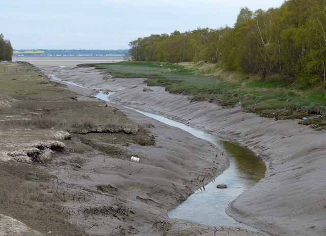
Image: © Mat Fascione Taken: 14 Apr 2019
This muddy creek used to be Flint Dock, built in the 1800's to help export Halkyn Mountain lead. Soon after, Flint Marsh Colliery began exporting their coal from here, a timber and boat yard developed beside the leadworks. A chemical works was also built here, making the dock one of the busiest along the Dee.
Images are licensed for reuse under creativecommons.org/licenses/by-sa/2.0
Image Location
Latitude
53.253906
Longitude
-3.135207