Randalls Research Park
Introduction
The photograph on this page of Randalls Research Park by Ian Capper as part of the Geograph project.
The Geograph project started in 2005 with the aim of publishing, organising and preserving representative images for every square kilometre of Great Britain, Ireland and the Isle of Man.

There are currently over 7.5m images from over 14,400 individuals and you can help contribute to the project by visiting https://www.geograph.org.uk
Randalls Research Park
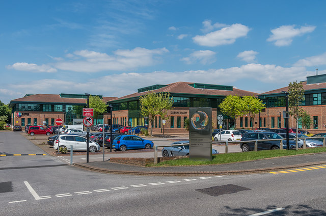
Image: © Ian Capper Taken: 16 May 2019
Business park on Randalls Way. From left to right are Medina House, Cassini Court and Pascal Place.
Images are licensed for reuse under creativecommons.org/licenses/by-sa/2.0
Image Location
Latitude
51.30139
Longitude
-0.335879