Footpath across Pynesfield Lake
Introduction
The photograph on this page of Footpath across Pynesfield Lake by Marathon as part of the Geograph project.
The Geograph project started in 2005 with the aim of publishing, organising and preserving representative images for every square kilometre of Great Britain, Ireland and the Isle of Man.

There are currently over 7.5m images from over 14,400 individuals and you can help contribute to the project by visiting https://www.geograph.org.uk
Footpath across Pynesfield Lake
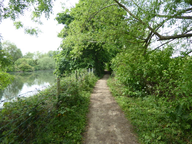
Image: © Marathon Taken: 22 May 2019
This is just to the west of the Grand Union Canal and is accessed by a footpath as The Coy Carp is reached. The path then passes along this wooded causeway through Pynesfield Lake before eventually reaching Old Uxbridge Road.
Images are licensed for reuse under creativecommons.org/licenses/by-sa/2.0
Image Location
Latitude
51.609361
Longitude
-0.502841