The Bradley Brook near its end
Introduction
The photograph on this page of The Bradley Brook near its end by Neil Owen as part of the Geograph project.
The Geograph project started in 2005 with the aim of publishing, organising and preserving representative images for every square kilometre of Great Britain, Ireland and the Isle of Man.

There are currently over 7.5m images from over 14,400 individuals and you can help contribute to the project by visiting https://www.geograph.org.uk
The Bradley Brook near its end
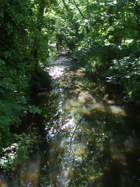
Image: © Neil Owen Taken: 25 May 2019
The Bradley Brook rises a few miles to the northwest where the Patchway Brook and the Stoke Brook combine forces. Its journey carries on down but a short distance from here where it meets the River Frome.
Images are licensed for reuse under creativecommons.org/licenses/by-sa/2.0
Image Location
Latitude
51.508088
Longitude
-2.512615