Roundabout, West Horsley
Introduction
The photograph on this page of Roundabout, West Horsley by Ian Capper as part of the Geograph project.
The Geograph project started in 2005 with the aim of publishing, organising and preserving representative images for every square kilometre of Great Britain, Ireland and the Isle of Man.

There are currently over 7.5m images from over 14,400 individuals and you can help contribute to the project by visiting https://www.geograph.org.uk
Roundabout, West Horsley
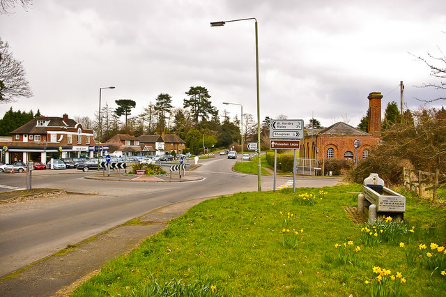
Image: © Ian Capper Taken: 26 Mar 2008
Roundabout on the A246 Epsom Road where it is met by The Street on the left and Shere Road (originally Chalk Road) on the right. On the left is Bell & Colvill garage (see Image) and on the right is West Horsley pumping station (see Image) and the drinking trough in Image
Images are licensed for reuse under creativecommons.org/licenses/by-sa/2.0
Image Location
Latitude
51.259797
Longitude
-0.455148