Manor Park Road
Introduction
The photograph on this page of Manor Park Road by Martin Addison as part of the Geograph project.
The Geograph project started in 2005 with the aim of publishing, organising and preserving representative images for every square kilometre of Great Britain, Ireland and the Isle of Man.

There are currently over 7.5m images from over 14,400 individuals and you can help contribute to the project by visiting https://www.geograph.org.uk
Manor Park Road
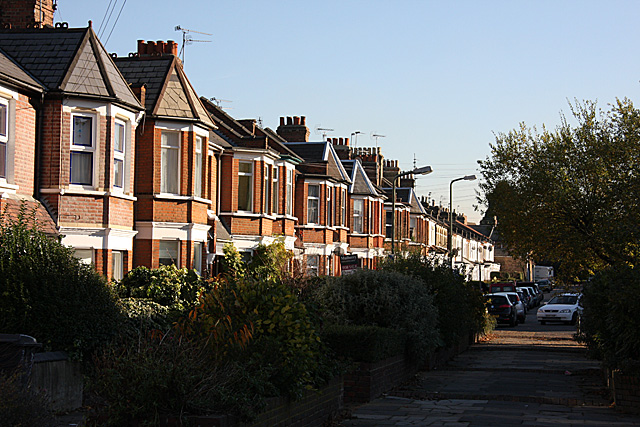
Image: © Martin Addison Taken: 16 Nov 2007
View along the terraced houses of Manor Park Road looking towards Holy Trinity Church on Church Lane. The centre section of this road has been pedestrianised - although the removable bollards preventing access to motorists have disappeared.
Images are licensed for reuse under creativecommons.org/licenses/by-sa/2.0
Image Location
Latitude
51.593397
Longitude
-0.175356