Mill Road, Winchelsea
Introduction
The photograph on this page of Mill Road, Winchelsea by Simon Carey as part of the Geograph project.
The Geograph project started in 2005 with the aim of publishing, organising and preserving representative images for every square kilometre of Great Britain, Ireland and the Isle of Man.

There are currently over 7.5m images from over 14,400 individuals and you can help contribute to the project by visiting https://www.geograph.org.uk
Mill Road, Winchelsea
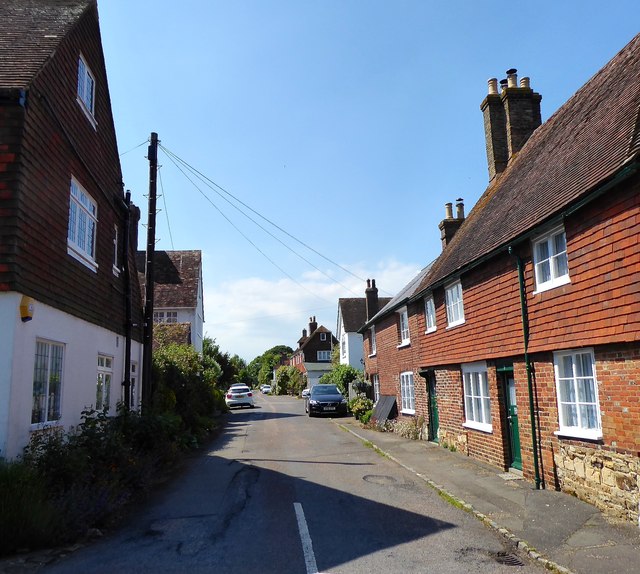
Image: © Simon Carey Taken: 24 May 2019
A residential street linking Castle Street to Robert's Hill, the A259. The building on the left is The Old Post Office, marked as such on the 1898 and 1909 OS maps but had moved to High Street by the 1929 edition. On the right are Salutation Cottages, dating from the 15th century and once the Salutation Inn that is now three cottages.
Images are licensed for reuse under creativecommons.org/licenses/by-sa/2.0
Image Location
Latitude
50.925588
Longitude
0.709273