Castle Douglas railway station (site), Dumfries & Galloway
Introduction
The photograph on this page of Castle Douglas railway station (site), Dumfries & Galloway by Nigel Thompson as part of the Geograph project.
The Geograph project started in 2005 with the aim of publishing, organising and preserving representative images for every square kilometre of Great Britain, Ireland and the Isle of Man.

There are currently over 7.5m images from over 14,400 individuals and you can help contribute to the project by visiting https://www.geograph.org.uk
Castle Douglas railway station (site), Dumfries & Galloway
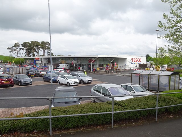
Image: © Nigel Thompson Taken: 7 May 2019
Opened in 1859 by the Castle Douglas & Dumfries Railway, later extended westwards to be part of the Portpatrick & Wigtownshire Joint Railway, this station closed in 1965. The railway line was known as 'The Port Road'. View east towards Buittle and Dumfries. Although the station was swept away by several later redevelopments (for example, see Image), the old goods shed was still extant when this image was taken, out of view to the right.
Images are licensed for reuse under creativecommons.org/licenses/by-sa/2.0
Image Location


Leaflet Map data © OpenStreetMap
Latitude
54.944686
Longitude
-3.924742