Redevelopment along Bath Lane
Introduction
The photograph on this page of Redevelopment along Bath Lane by Christine Johnstone as part of the Geograph project.
The Geograph project started in 2005 with the aim of publishing, organising and preserving representative images for every square kilometre of Great Britain, Ireland and the Isle of Man.

There are currently over 7.5m images from over 14,400 individuals and you can help contribute to the project by visiting https://www.geograph.org.uk
Redevelopment along Bath Lane
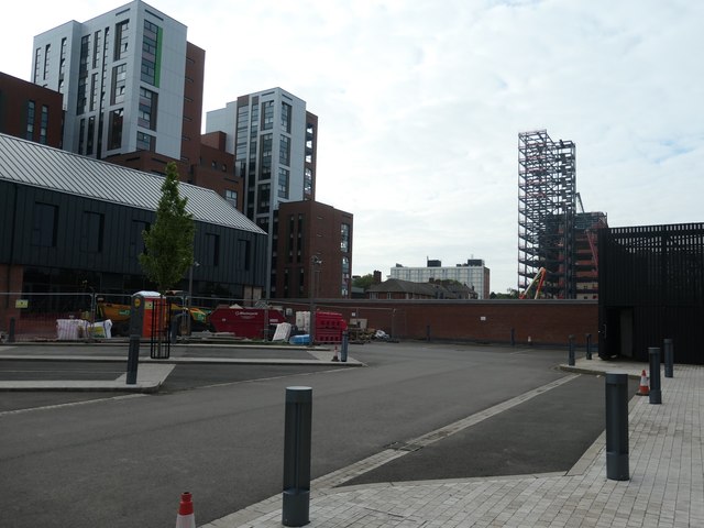
Image: © Christine Johnstone Taken: 5 May 2019
In the Black Friars area of Leicester, on the east bank of the River Soar.
Images are licensed for reuse under creativecommons.org/licenses/by-sa/2.0
Image Location
Latitude
52.635511
Longitude
-1.143369