The Grand Union Canal near Uxbridge
Introduction
The photograph on this page of The Grand Union Canal near Uxbridge by Marathon as part of the Geograph project.
The Geograph project started in 2005 with the aim of publishing, organising and preserving representative images for every square kilometre of Great Britain, Ireland and the Isle of Man.

There are currently over 7.5m images from over 14,400 individuals and you can help contribute to the project by visiting https://www.geograph.org.uk
The Grand Union Canal near Uxbridge
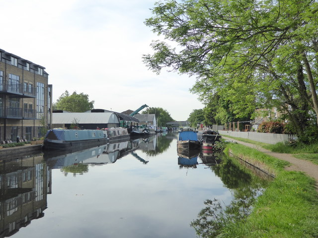
Image: © Marathon Taken: 22 May 2019
This section of the Grand Union Canal from the River Thames at Brentford was opened in 1794. It was the first section of what was originally called the Grand Junction Canal. Its purpose was to provide a new, shorter and quicker transport route between London and Birmingham by connecting with a network of canals at Braunston near Daventry. When the canal reached Braunston in 1805 it cut 60 miles off the shortest alternative route. This is just south of St John's Road. This part of the towpath is also on the London LOOP.
Images are licensed for reuse under creativecommons.org/licenses/by-sa/2.0
Image Location
Latitude
51.537053
Longitude
-0.487912