Track and mobile phone base station
Introduction
The photograph on this page of Track and mobile phone base station by Alan Walker as part of the Geograph project.
The Geograph project started in 2005 with the aim of publishing, organising and preserving representative images for every square kilometre of Great Britain, Ireland and the Isle of Man.

There are currently over 7.5m images from over 14,400 individuals and you can help contribute to the project by visiting https://www.geograph.org.uk
Track and mobile phone base station
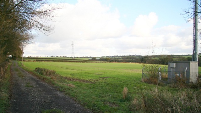
Image: © Alan Walker Taken: 14 Nov 2007
This north-easterly facing photograph shows a track carrying a public footpath connecting Dark Lane¹, North Wingfield (ahead) with Seanor Lane¹, Lower Pilsley (behind the viewpoint). To the right of the Image² this route is joined by another from the B6039¹ near Astwith (easterly). To see another, south-westerly facing (toward Seanor Lane¹, Lower Pilsley) photograph of this footpath junction, click here Image For a more south-westerly (behind the viewpoint) photograph of the track and public footpath, click here Image ¹ Road name information from OS Maps at:- Elgin, http://www.elgin.gov.uk/ and the Mapping Portal of the Derbyshire Partnership, http://derbyshiremaps.derbyshire.gov.uk/ ² Name of Operator: T-MOBILE Operator Site Ref: 99504 Station Type: Macrocell Height of Antenna: 15 Metres Frequency Range: 1800 MHz Transmitter Power: 26 dBW Maximum licensed power: 32 dBW Type of Transmission: GSM Base station data provided by: Sitefinder (Ofcom) - http://www.sitefinder.ofcom.org.uk/
Images are licensed for reuse under creativecommons.org/licenses/by-sa/2.0
Image Location
Latitude
53.18019
Longitude
-1.374663