Llwybr Swyddffynnon / Swyddffynnon Path
Introduction
The photograph on this page of Llwybr Swyddffynnon / Swyddffynnon Path by Alan Richards as part of the Geograph project.
The Geograph project started in 2005 with the aim of publishing, organising and preserving representative images for every square kilometre of Great Britain, Ireland and the Isle of Man.

There are currently over 7.5m images from over 14,400 individuals and you can help contribute to the project by visiting https://www.geograph.org.uk
Llwybr Swyddffynnon / Swyddffynnon Path
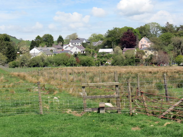
Image: © Alan Richards Taken: 22 May 2019
Llwybr yn agosau at bentre Swyddffynnon. A public footpath approaching the village of Swyddffynnon (trans. district of the well).
Images are licensed for reuse under creativecommons.org/licenses/by-sa/2.0
Image Location
Latitude
52.277333
Longitude
-3.919652