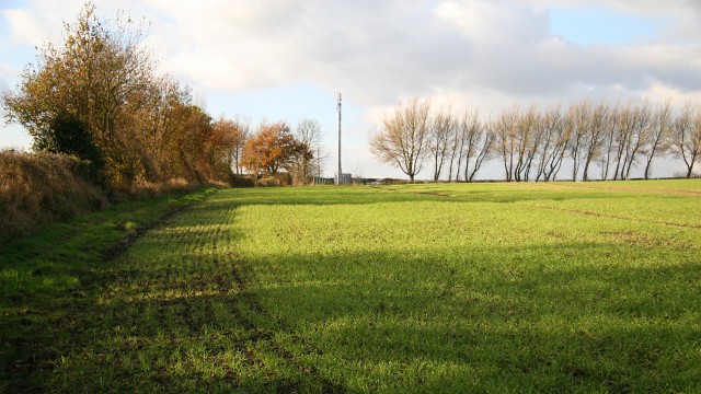
Public footpath
Introduction
The photograph on this page of Public footpath by Alan Walker as part of the Geograph project.
The Geograph project started in 2005 with the aim of publishing, organising and preserving representative images for every square kilometre of Great Britain, Ireland and the Isle of Man.
There are currently over 7.5m images from over 14,400 individuals and you can help contribute to the project by visiting https://www.geograph.org.uk

Image: © Alan Walker Taken: 14 Nov 2007
This north-westerly facing photograph shows a public footpath linking North Wingfield (ahead) with the B6039¹ near Astwith (behind the viewpoint, easterly). The route runs along the field boundary to pass between the hedge and the mobile phone mast beyond which it joins another public footpath (by the line of trees). The field contains an autumn sown crop. For a more north-westerly (ahead, beyond the transmitter) photograph of the footpath but looking back toward this viewpoint, click here Image For a more easterly (two or three metres behind the viewpoint) photograph of the footpath, click here Image ¹ Road name information from OS Maps at:- Elgin, http://www.elgin.gov.uk/ and the Mapping Portal of the Derbyshire Partnership, http://derbyshiremaps.derbyshire.gov.uk/

