End of the road for motor vehicles, Calder Brook
Introduction
The photograph on this page of End of the road for motor vehicles, Calder Brook by Stephen Craven as part of the Geograph project.
The Geograph project started in 2005 with the aim of publishing, organising and preserving representative images for every square kilometre of Great Britain, Ireland and the Isle of Man.

There are currently over 7.5m images from over 14,400 individuals and you can help contribute to the project by visiting https://www.geograph.org.uk
End of the road for motor vehicles, Calder Brook
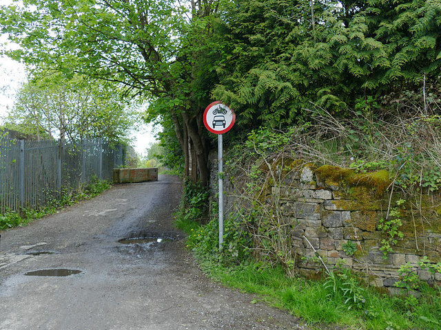
Image: © Stephen Craven Taken: 11 May 2019
Beyond this point (the boundary between Hebden Bridge and Mytholmroyd, at the bottom of Stubb Clough) the road is for pedestrians and cyclists only as part of the Trans Pennine Trail.
Images are licensed for reuse under creativecommons.org/licenses/by-sa/2.0
Image Location
Latitude
53.733901
Longitude
-1.994506